A Through Hiker’s Guide to the Long Trail
The Long Trail is an exciting and the oldest long-distance hiking trail in the USA. Located in Vermount, this trail runs the length of the state and receives hundreds of hikers each year. Here is everything you need to know when planning a hike in this trail
Getting There
Public transportation is available to get you to Williamstown. For further information, see New England Travel Planner or Longtrailvermont.com.
However, this is not true for the northern terminus as there are no public transportation options there. This means that you’ll have to arrange for a private transport. A list of alternatives can be found at Longtrailvermont.com.
Maps and Information
The Long Trail is spearheaded by the Green Mountain Club. After building the Long Trail in the early 1900s, the Green Mountain Club has continued to conserve and maintain the route ever since. The Green Mountain Club publishes the three information sources listed below, which can be purchased through their online store.
- Map of Vermont’s Long Trails (5th Edition)
- The Long Trail Guide contains distances, shelter locations, maps, water and resupply information, and trekking notes.
- The Long Trail End to Ender’s Guide contains town and resupply information.
Route/Condition
From start to end, the track is clearly marked with white blazes. Blue blazes highlight the way to the side paths.
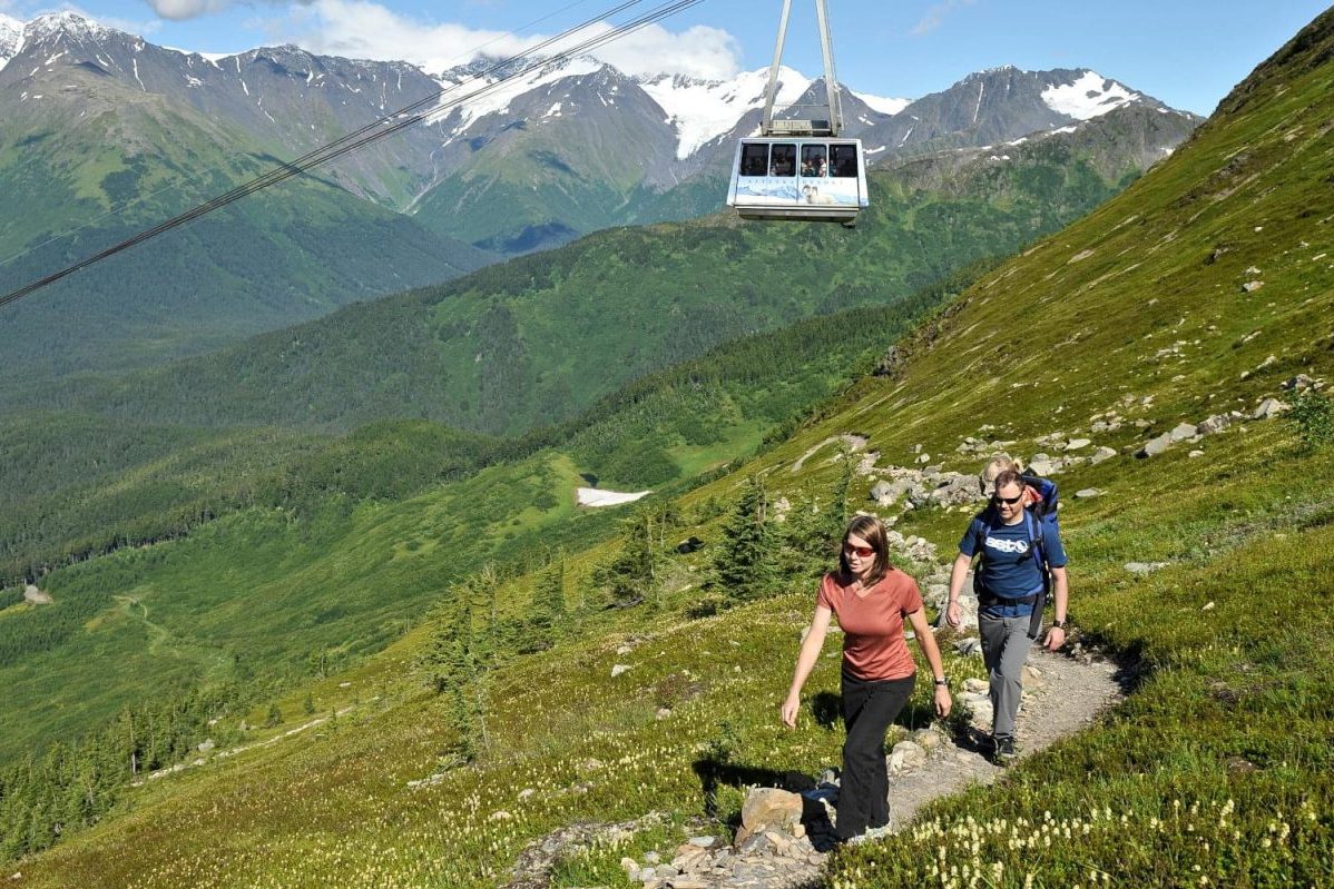
The Long Trail is far from an easy trek, despite its basic navigation. The trail is frequently rough, rooty, and muddy. Despite the fact that the heights reached are not as high as those in the western states, there is a significant amount of ascent and descent. The ancient knees were put to the test.
Because of the tread’s nature, it’s best if the hiker packs as light as possible on the Long Trail. When navigating steep and undulating terrain, the weight of a big pack is felt significantly more than when traversing flat territory.
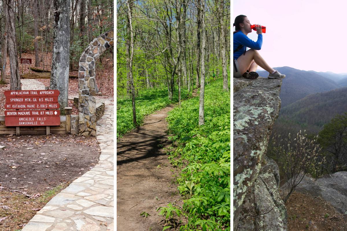
The Appalachian Trail is a popular hiking route in the United States. The Appalachian Trail runs parallel to the Long Trail for the first 104 miles. This is the most straightforward section. The next 170 miles of the trail from Maine Junction north are more rugged, secluded, and often slower going.
Sleeping
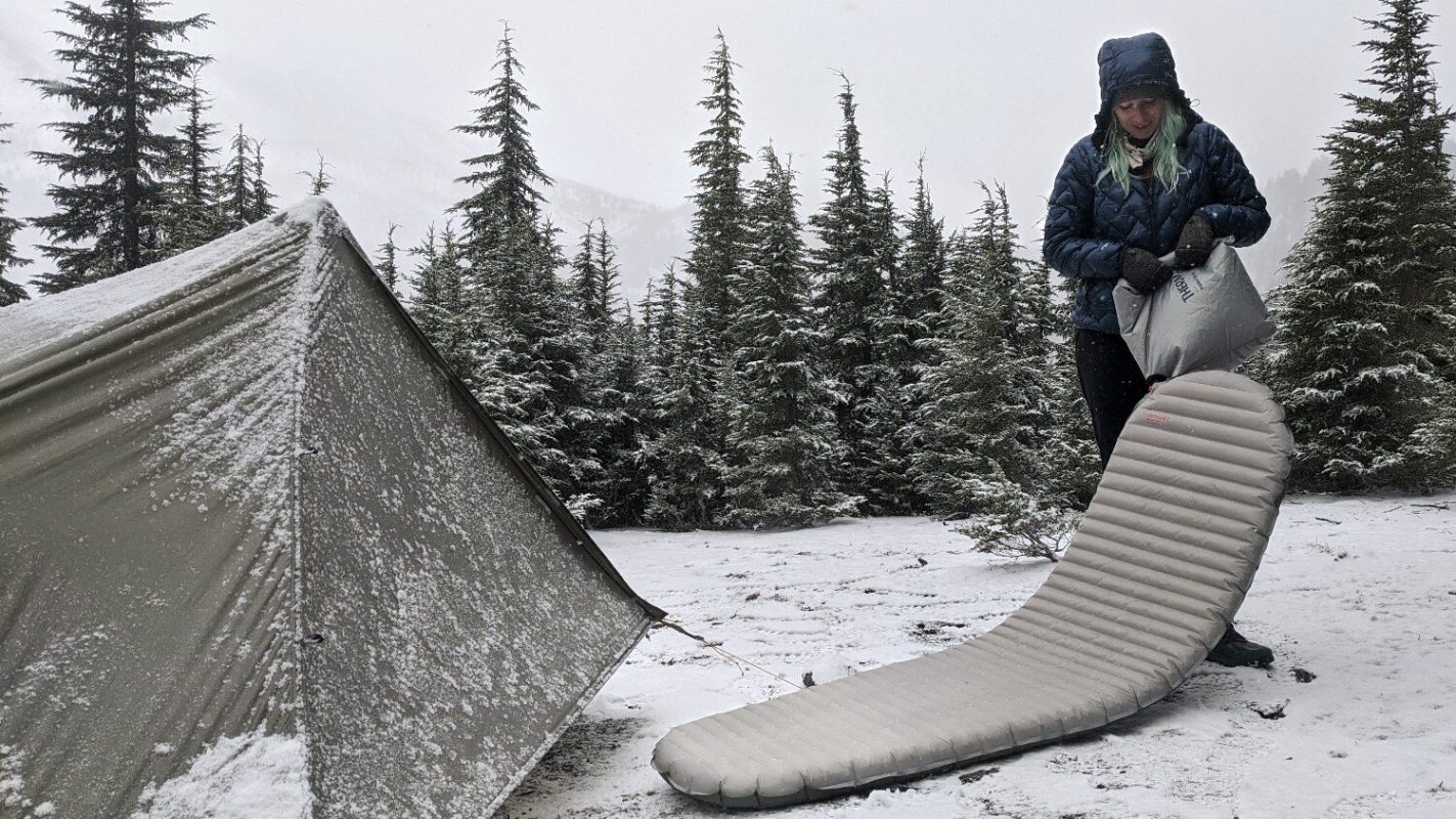
A total of 70 overnight sites are available along the trail, including lean-tos huts, and tent sites.
The distance between shelters is normally eight to ten miles. This is especially true during the summer, when lean-tos and shelters are frequently packed.
Resupply
Don’t carry more than four or five days’ worth of food at a time. The good things is that there are well-stocked grocery stores in several towns along the way that can come in handy when you need to restock your food. What’s more, there are mail drops and you can easily mail yourself packages.

